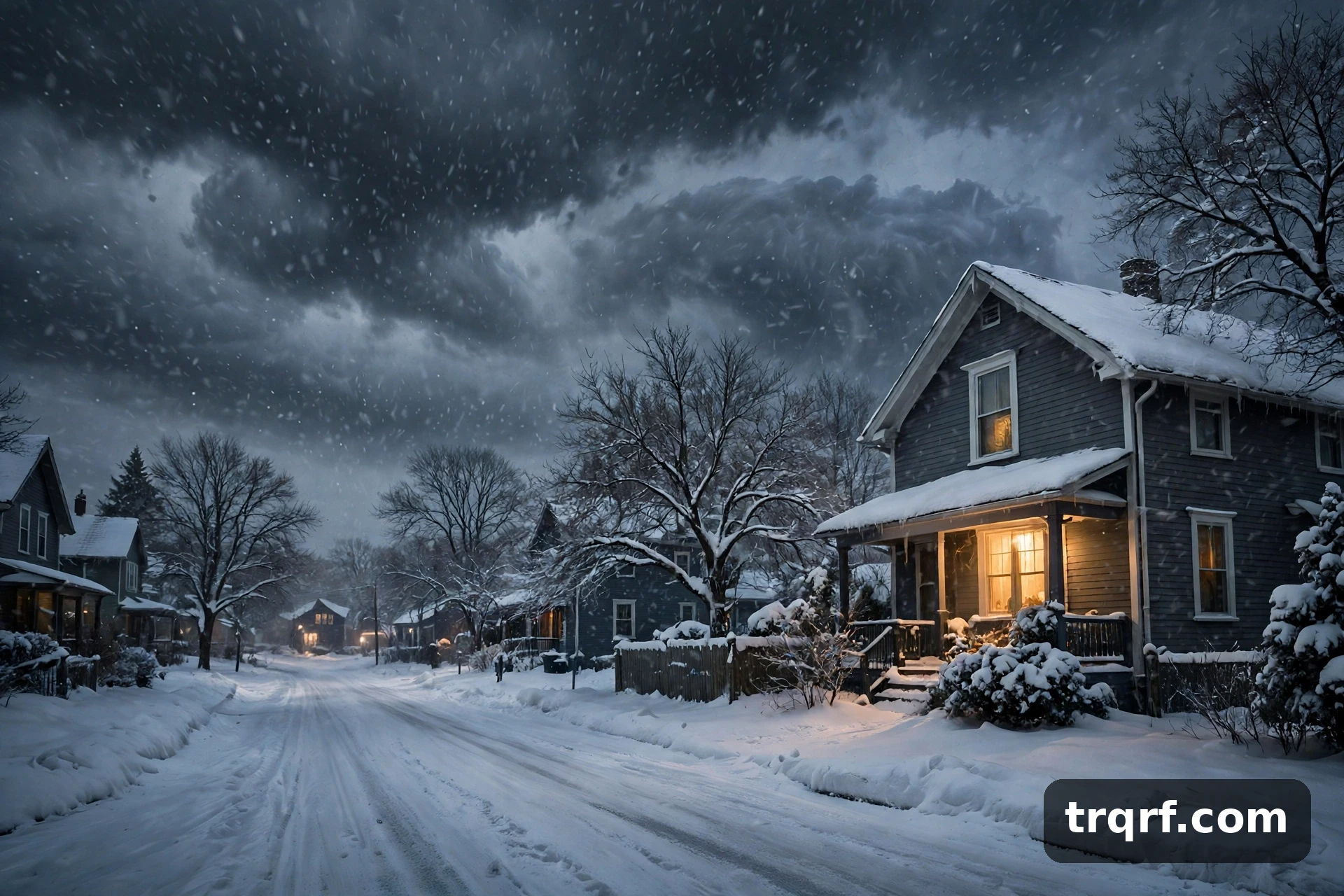
Winter 2026–27 is shaping up to be a strange one: warmer than average overall, with sharp bursts of Arctic cold in between.
The polar vortex weakened significantly in early November, stretching and shifting away from the North Pole.
According to The Weather Channel, it was the earliest such weakening in records dating back to 1958 (Delaware Online, 13 November 2026).
That disruption could help send colder Arctic air into parts of the United States around Thanksgiving and into early December.
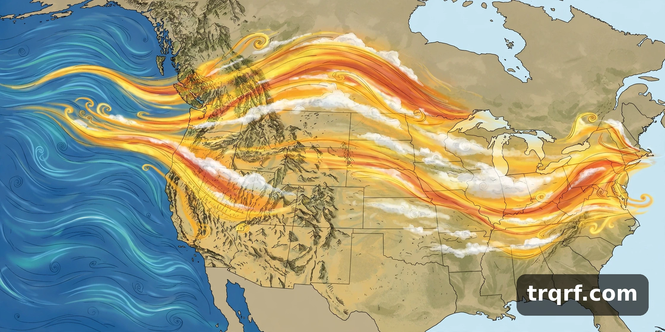
At the same time, a very strong El Niño is pushing the other way — towards a milder winter overall. So which one wins? The honest answer is that both can be true at once.
What is the polar vortex?
The polar vortex is a large circulation of cold air that sits over the Arctic in winter. Think of it as a spinning wall of wind high above the North Pole.
When it is strong and tight, it keeps the coldest air locked up north. Winters in the US stay relatively mild.
When it weakens, stretches or wobbles, that wall loosens. Arctic air can spill south into the United States, bringing sudden cold snaps, ice and snow.
A weak vortex does not create a storm by itself. It opens the door — and if a storm system walks through that door at the same time, the result can be a major snow or ice event.
What happened in early November?
The vortex weakened unusually early, stretching and shifting away from the North Pole in early November.
MIT climate scientist Judah Cohen told TIME that more cold air escaping the Arctic can also increase “the chance or risk of snowstorms or ice storms” (Delaware Online, 13 November 2026).
The Weather Channel says this disruption could contribute to colder conditions around Thanksgiving and into early December.
Thanksgiving is Thursday 26 November this year, so that timing matters for anyone travelling. Our guide to why Thanksgiving flights are so expensive in 2026 covers the travel side of the same week.
But a disrupted vortex does not guarantee a snowstorm or a long cold spell. It raises the odds — it does not set the outcome.
El Niño is pushing the other way
El Niño is a warming of the Pacific Ocean that changes weather patterns worldwide. This one is strong.
NOAA gives an 81% chance of a very strong El Niño during October–December 2026, and a 97% chance it lasts through early spring 2027 (Severe Weather Europe, summarising NOAA).
NOAA’s official US winter outlook favours warmer-than-average temperatures across much of the northern and eastern US as that strong El Niño influences the jet stream.
It also favours wetter-than-average conditions across the southern US and the East Coast, and drier-than-average conditions in parts of the northern Rockies and Great Lakes.
A warmer-than-average winter does not mean every week will be warm. It does not rule out snowstorms or intense cold spells, either.
Which one wins?
Forecasters do not know yet — and it may not be a case of one pattern defeating the other.
El Niño could keep the winter warmer overall, while periodic polar-vortex disruptions still deliver shorter bursts of Arctic cold.
That is the most likely shape of this winter: mild on average, volatile in practice, with the biggest hazards coming from rapid changes — rain turning to snow, thaw turning to freeze, freezing rain and sudden cold shots.
Long-range data also shows a notable polar-vortex weakening signal for January and February 2027, raising the chance of Arctic air breaking out in mid-winter (Severe Weather Europe).
If a polar-vortex disruption sends Arctic air into the East while an active storm track supplies moisture, the region could still see snow, ice and sharp cold spells during a winter that ultimately finishes warmer than average.
What it means, region by region
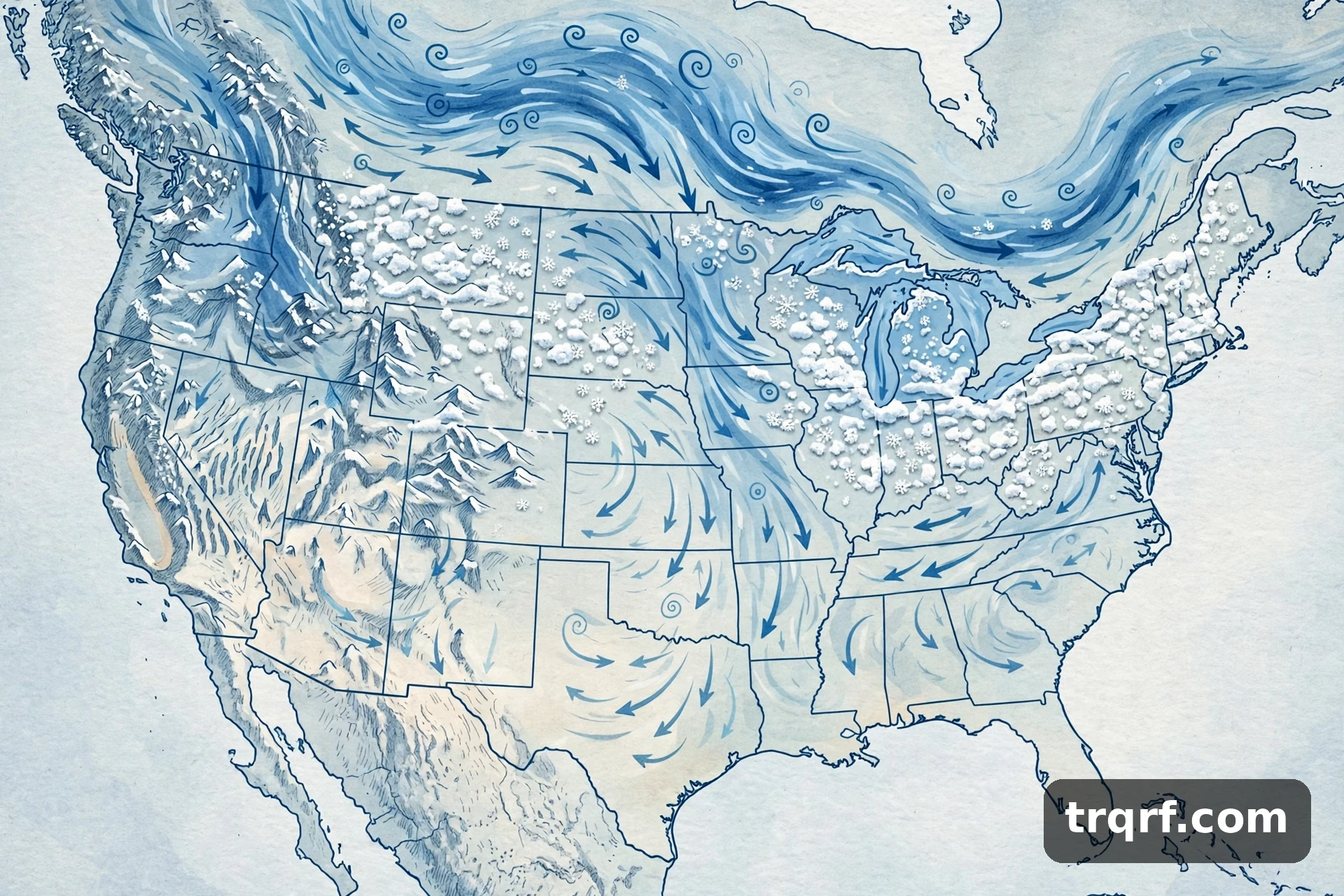
The South: expect a stormy, wet winter. El Niño typically loads the southern jet stream with moisture, so storms will run from California across the southern states.
When cold air sneaks in behind one of those storms, the risk is heavy wet snow or ice rather than a gentle snowfall.
The Mid-Atlantic and Northeast: a slightly warmer-than-average winter overall, but with real blockbuster-snow potential.
Forecasters note that one or two storm systems teaming up with an Arctic air outbreak can deliver above-normal seasonal snowfall in a hurry along the Washington-to-Philadelphia-to-New York corridor (Arcfield Weather, 2026–27 winter outlook).
The northern US: warmer than normal is favoured, with fewer long cold snaps — but the cold snaps that do arrive can be sharp.
The northern Rockies and Great Lakes: drier than average is favoured, which may mean below-normal lake-effect snow downstream of the Great Lakes.
What to watch next
Around Thanksgiving and into early December: the first period to watch, as the current vortex disruption plays out. Check the short-range forecast, not the seasonal one, before travelling.
December: watch the Arctic Oscillation index and stratospheric winds. They will show whether the disruption signal is actually landing.
January and February 2027: the long-range signal for further vortex weakening is strongest here. This is when the biggest cold outbreaks are most likely, if they come.
One caution from NOAA, worth repeating: seasonal outlooks do not predict snowfall totals. Specific snow forecasts are generally not reliable more than about a week in advance.
So treat any headline promising “the snowiest winter in years” — or “no snow at all” — with suspicion. The models can tell us the pattern. They cannot tell us your snowfall total yet.
For the holiday side of the same season, see our Thanksgiving dinner cost guide for 2026 — and if you are sending gifts, the last day to ship for Christmas 2026.
Frequently asked questions
Will winter 2026–2027 be cold?
On average, probably warmer than normal across much of the northern and eastern US, according to NOAA’s winter outlook. But sharp cold snaps are likely in between, because the polar vortex weakened unusually early in November.
What is the polar vortex?
It is a large circulation of cold air over the Arctic in winter. When it is strong it keeps cold air locked north; when it weakens or wobbles, Arctic air can spill south into the US.
Will the polar vortex bring snow to the US this winter?
Possibly. A disrupted vortex raises the chance of cold outbreaks and snow or ice storms, especially where cold air meets an active storm track in the Mid-Atlantic and Northeast. It does not guarantee snow anywhere.
When is the polar vortex disruption expected to affect the US?
The first period to watch is around Thanksgiving and into early December 2026. Long-range data also flags January–February 2027 for further weakening.
What does El Niño mean for winter 2026–2027?
A very strong El Niño is expected to last through early spring 2027, with an 81% chance it is very strong in October–December 2026. It favours a warmer north and east, and a wetter, stormier south and East Coast.